Tag Archives: Transparency in monitoring
We used AI and satellite imagery to map ocean activities that take place out of sight, including fishing, shipping and energy development
January 3, 2024
Canada, Gulf of Mexico, International, International News, Mid Atlantic, National, New England
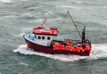 A newly published study in the journal Nature combines satellite images, vessel GPS data and artificial intelligence to reveal human industrial activities across the ocean over a five-year period. Researchers at Global Fishing Watch, a nonprofit organization dedicated to advancing ocean governance through increased transparency of human activity at sea, led this study, in collaboration with me and our colleagues at Duke University, University of California, Santa Barbara and Sky Truth. We found that a remarkable amount of activity occurs outside of public monitoring systems. Our new map and data provide the most comprehensive public picture available of industrial uses of the ocean. more, >>click to read<< 15:52


