Tag Archives: Ships
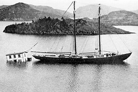
The 1929 Magnitude 7.2 “Grand Banks” earthquake and tsunami
On November 18, 1929, at 5:02 pm Newfoundland time, a major earthquake occurred approximately 250 km south of Newfoundland along the southern edge of the Grand Banks. This magnitude 7.2 tremor was felt as far away as New York and Montreal (see isoseismal map of felt area below). On land, damage due to earthquake vibrations was limited to Cape Breton Island where chimneys were overthrown or cracked and where some highways were blocked by minor landslides. A few aftershocks (one as large as magnitude 6) were felt in Nova Scotia and Newfoundland but caused no damage. More than 40 local villages in southern Newfoundland were affected, where numerous homes, ships, businesses, livestock and fishing gear were destroyed. Also lost were more than 280,000 pounds of salt cod. Total property losses were estimated at more than $1 million 1929 dollars (estimated as nearly $20 million 2004 dollars). Photos, maps, more, >>CLICK TO READ<< 10:23
Ships not complying with right whale protections in Cabot Strait
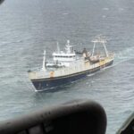
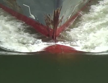
Oceana Canada has released one week of results from its ongoing study, which is assessing data from vessels travelling inside speed restriction zones. Between May 19 and May 25, 72 per cent of vessels recorded passing through the strait between Newfoundland and Nova Scotia were observed travelling at speeds above the requested 10 knots, with the highest observed at 21.1 knots. The findings will be part of a fuller study to be released in July that will look at the first trial period of the speed restriction. >click to read< 17:55


